
Environmental Surveys
Habitat Assessments & Biotope Mapping
Benthic Solutions (BSL) identifies and maps marine habitats to support site selection, route planning and environmental assessment. We combine acoustic data interpretation with seabed imagery and sampling to characterise habitats, identify sensitive features and assess their relevance to a proposed development.
Our work ranges from intertidal habitat surveys to deep-water biotope mapping. We support operators, environmental consultancies and survey contractors working on oil and gas developments, offshore wind farms, submarine cables and pipelines, aquaculture sites, ports and harbours, and marine aggregate projects.
Acoustic interpretation and survey planning
Existing geophysical survey data can provide a starting point for habitat assessment. BSL reinterprets acoustic information to identify seabed features, consider potential environmental risks and select locations for ground-truthing.
Relevant datasets include side-scan sonar, bathymetry from multibeam or swath surveys, 3D seismic surface return where available, acoustic backscatter, acoustic ground discrimination and sub-bottom profiler data. Interpretation helps focus the environmental survey on areas where imagery or sampling is needed to establish the habitat type.
Habitat assessment can be undertaken alongside a geophysical site or route survey, or coordinated with other offshore operations where the project scope allows.
Ground-truthing and habitat classification
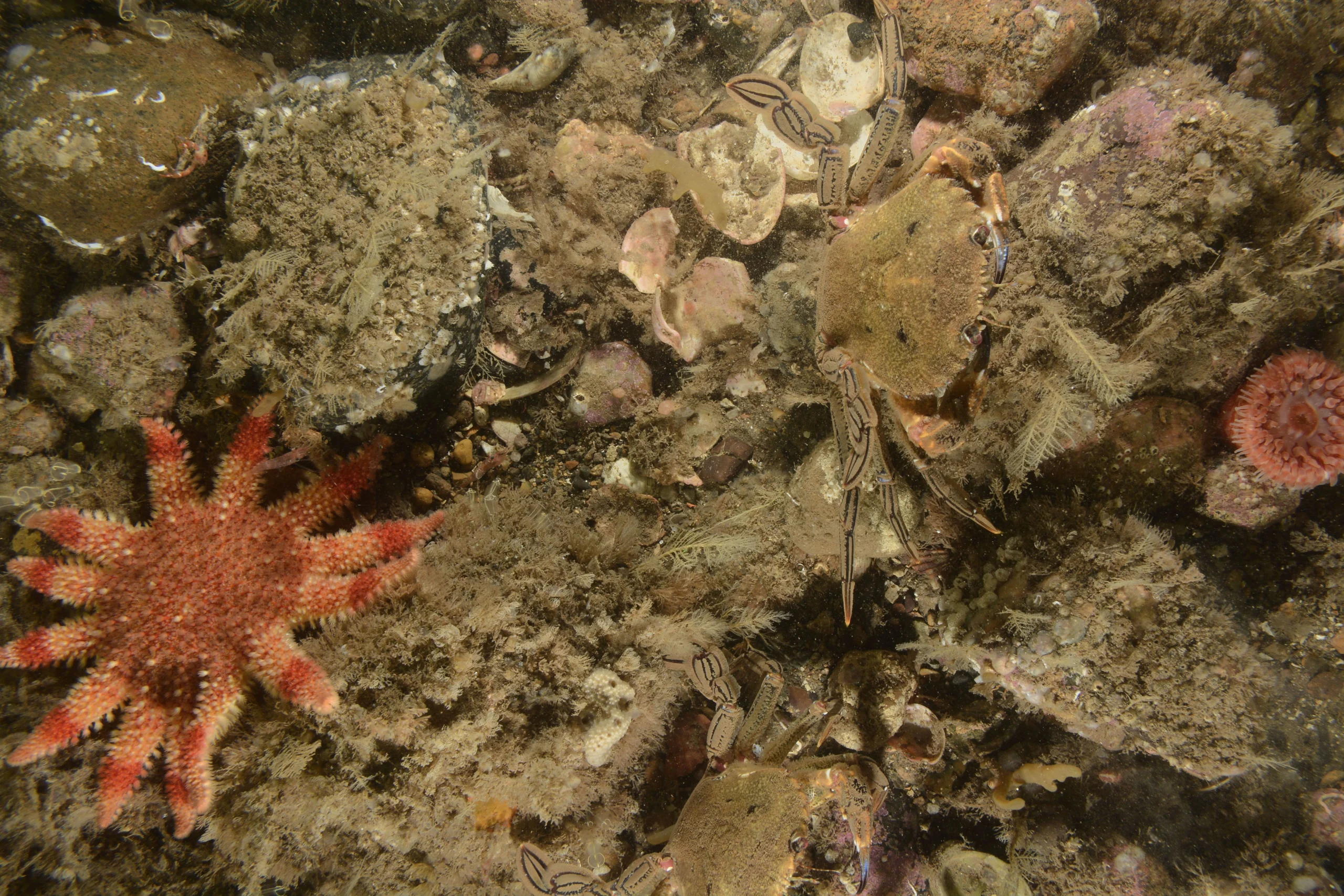
We investigate selected locations using high-definition video, stills photography and seabed sampling. These observations provide direct evidence to support interpretation of the acoustic data and characterisation of the seabed communities.
BSL combines these datasets for habitat classification and biotope mapping. A biotope describes a habitat together with its associated biological community. Habitat classification follows the European Nature Information System (EUNIS) framework and relevant Joint Nature Conservation Council (JNCC) protocols.
Sensitive habitats and features
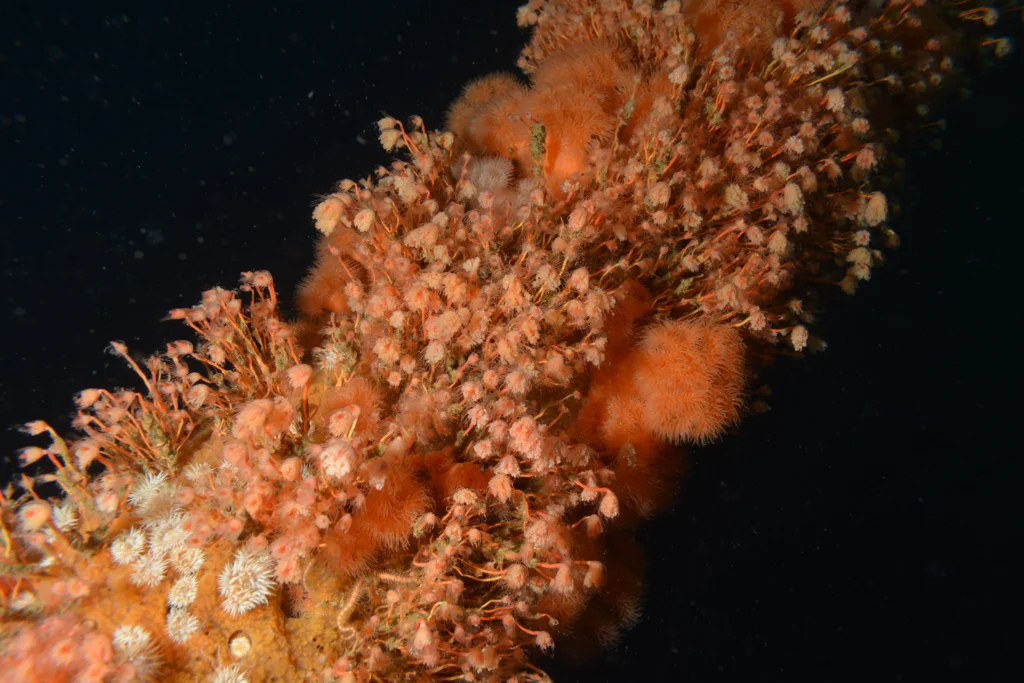
Habitat assessments consider habitats listed under Annex I of the European Habitats Directive, habitats identified for protection by OSPAR and other relevant international habitat protection requirements. Survey evidence helps establish the presence and extent of these habitats and their potential interactions with a proposed development. The survey scope can address particular habitats, species or features relevant to the site, including:
- Shallow-water and deep-water corals, including Lophelia pertusa and Madrepora oculata, together with coral gardens and sponge aggregations.
- Biogenic and coralligenous reefs, including those formed by Sabellaria, serpulid polychaetes and Modiolus.
- Bivalve beds and rocky or stony reefs.
- Sandbanks, including shallow sandbanks in water depths of less than 20 metres.
- Seagrass beds, including Zostera, Posidonia and Cymodocea.
- Cold-water seeps and fluid or gas escape features, including active pockmarks, mud volcanoes, surface faults and associated bioherm communities.
- Carbonate structures, including methane-derived authigenic carbonates.
- Sensitive species such as ocean quahog (Arctica islandica).
- Norwegian Red List species.
For offshore wind and cable projects, intertidal and landfall surveys extend the assessment into the coastal zone, helping identify sensitive areas and potential interactions with the proposed works.
Fish spawning ground assessments
BSL also provides fish spawning ground assessments, including assessments relating to herring and sandeels. These form a distinct part of the environmental survey scope where spawning habitats are relevant to project planning. The assessment requirements are agreed for the species, location and proposed activity.
Interpretation and reporting
We bring acoustic interpretation, imagery and sampling evidence together in an environmental habitat assessment report. The report describes the habitat findings, highlights the potential presence of target habitats and identifies mitigation options where appropriate. This supports consideration of habitat interactions during project planning and environmental assessment.
For wider seabed characterisation, explore our Environmental Baseline & Characterisation Surveys.
Discuss your habitat assessment
To discuss habitat mapping or fish spawning ground assessments, contact BSL with your project location, proposed activity and available survey data. We can help define the assessment scope and the additional fieldwork required.