
Environmental Surveys
Deep-water Environmental Baseline Surveys
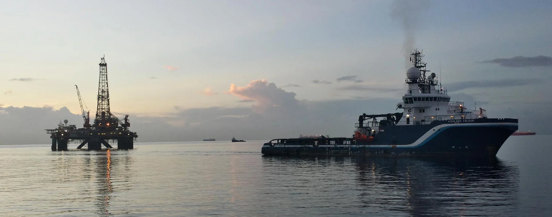
Benthic Solutions (BSL) provides specialist surveys to establish the environmental baseline of deep-water seabed habitats. We combine seabed sampling, underwater imagery and biological and sediment analysis to characterise conditions within the survey area.
These studies are typically undertaken for oil and gas projects at proposed drilling or development locations, and for government departments assessing wider regional areas. Deep-water work requires particular attention to equipment selection, the recovery of small organisms, specialist taxonomy and the integrity of samples intended for low-level chemical analysis.
Deep-water sampling and seabed imagery
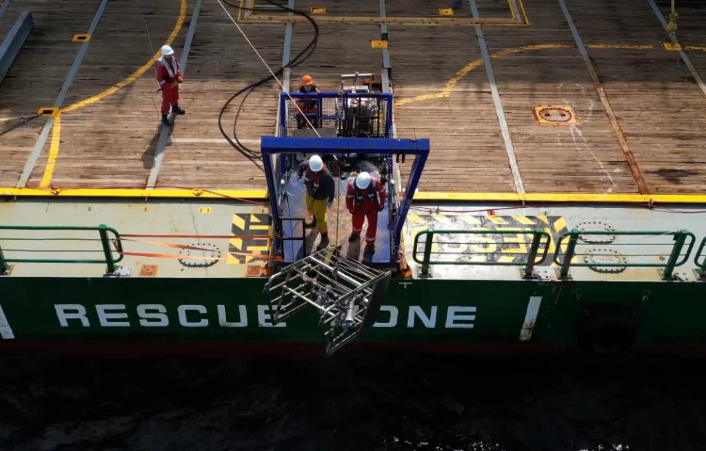
Surveys combine broad-scale acoustic data, where required, with seabed sampling and underwater imagery. Acoustic information provides wider seabed context, while samples and camera observations allow the physical and biological conditions to be examined directly.
We use specialised equipment suited to deep-water operations, including:
- Large-area seabed samplers, such as box corers and the BSL double grab.
- Deep-water camera systems, including MOD4, Kongsberg and Seabug.
The combination of sampling and imagery supports characterisation of sediments, seabed communities and habitat features across the survey area.
Specialist biological analysis
Samples are processed offshore using protocols similar to those applied in nearshore and shallow-water surveys. For deep-water macro-invertebrates, a sieve mesh of 500 µm or smaller is used to retain the smaller organisms found in these environments.
Identifying deep-water species requires specialist taxonomic expertise, as a high proportion may not yet have been formally described. DNA techniques can provide additional evidence to help clarify identification where appropriate, alongside taxonomic examination.
Sediment chemistry and sample integrity
Careful sampling and handling help prevent even low levels of contamination from sampling equipment or the survey vessel. This is particularly important when assessing sediment chemistry at very low detection limits.
Physical and chemical analyses cover a range of sediment parameters, with particular attention to heavy metals and hydrocarbons. Long-established oil and gas industry specifications help maintain consistency and comparability with historical survey data.
Environmental baseline and habitat mapping
BSL combines and analyses the biological and sediment results to establish an environmental baseline and map seabed habitats. The interpretation describes the communities and sediment conditions recorded, providing a reference for assessing future change around a proposed development or across a wider study area.
For the broader service scope and applications in other marine environments, see Environmental Baseline & Characterisation Surveys.
Discuss your baseline survey
Contact our team to discuss your project area, survey objectives and any existing environmental data. We can help define the sampling, analysis and interpretation needed to establish a useful baseline for your development or monitoring programme.