
Environmental Surveys
Environmental Baseline & Characterisation Surveys
Benthic Solutions (BSL) provides marine environmental surveys to establish seabed conditions and characterise the biological communities within a project area. We combine field sampling, underwater imagery, laboratory analysis and interpretation to provide a baseline for development planning, environmental assessment and future monitoring.
Our work supports operators, consultancies and survey contractors across oil and gas, offshore wind, aquaculture, cables and pipelines, ports and harbours, and marine aggregate projects.
Establishing the baseline
A baseline survey describes the marine environment before an activity takes place. The resulting data provide a reference against which later surveys can assess change, while characterisation studies help explain the distribution of sediments and seabed communities across the survey area.
Typical applications include proposed drilling and development locations, wind farm sites, cable and pipeline routes, dredging and disposal areas, fish farms and coastal infrastructure. BSL supports survey scoping and design, field operations, analysis and reporting, with methods selected to suit the project objectives and seabed conditions.
Seabed sampling and imagery
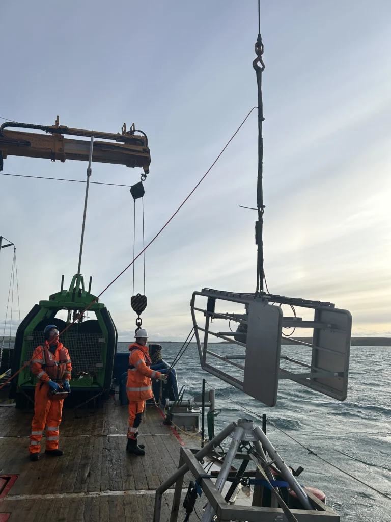
Most benthic baseline surveys use a combination of grabs, corers, video and stills photography, with dredges used where appropriate. Sampling equipment and techniques can be adapted to the sediment conditions encountered.
Replicate samples are recovered for biological analysis, with additional material sub-sampled for physical and chemical testing. Underwater imagery provides context for interpreting the sampled seabed and its associated habitats.
Where a project requires targeted assessment of sensitive habitats, our Habitat Assessments & Biotope Mapping service combines acoustic interpretation with imagery and sampling.
Sample handling and laboratory analysis
Recovered samples are quality controlled offshore. Macro-invertebrate samples are processed using 500 or 1,000 µm aperture sieves, with biological and chemical material preserved and stored in containers and conditions appropriate to the intended analyses.
Following fieldwork, samples are processed through BSL’s in-house analytical capabilities and specialist laboratories. Biological analysis identifies the macro-invertebrate communities present; physical and chemical analyses characterise the sediments and relevant chemical parameters.
Interpretation and reporting
BSL analyses the data to identify patterns across the survey area and, where comparable data are available, through time. Statistical analysis includes univariate and multivariate techniques, species clustering and ordination, considered alongside environmental factors to describe community patterns and variation.
The interpretation brings together the biological, sediment and imagery evidence to explain the conditions recorded. It supports project assessment and provides a reference for Environmental Monitoring & Decommissioning Surveys.
Specialist requirements for offshore deep-water locations are covered in Deep-water Environmental Baseline Surveys.
Discuss your environmental survey
Contact our team to discuss your project location, survey objectives and the support you need, whether for a new development, an existing operation or decommissioning.